6 Amazing Day Hikes in Shenandoah National Park
Looking for the best hikes in Shenandoah National Park? We got you covered! Here, we share some of our favorite hikes in Shenandoah, plus give you some tips to create your perfect Shenandoah National Park itinerary.
Okay, I know a lot of the western half of the U.S. gets the glory in terms of awesome national parks. Don’t get me wrong…sometimes I find myself wishing we could be out there more, but, fortunately for us east coasters, there are tons of great hiking opportunities and epic outdoor adventures to be had if you are willing to look for them!
Shenandoah National Park is a true gem of the east coast, and one of just a few National Parks east of the Mississippi. It encompasses a small portion of the Blue Ridge Mountains that run through Northern Virginia.
Shenandoah is known most notably for Skyline Drive. This 105 mile long road takes visitors along high mountain ridges as it weaves and twists its way from the northern end to the southern end of the park and provides no shortage of views down to the valley below without the need to ever leave your car.
But, why wouldn’t you want to?! If you are driving through Shenandoah, even if just for a day, take the opportunity to get out and do a hike… or six, and get to those views from vantage points that most people don’t see from the car. Or hike down from the road deeper into the valley to gain some solitude and explore dozens of waterfalls, creeks and plenty of wildlife.
While the park has tons of trails to choose from, we’ve picked six of our favorite hikes in Shenandoah National Park that span across all hiking abilities, from easy walks to rugged mountain scrambles, and that cover beautiful hidden waterfalls to epic panoramic views. Whichever ones you choose, you won’t be disappointed!
Along with out suggestions of best hikes in Shenandoah, we also share some helpful tips at the end so that we can help you plan your perfect Shenandoah itinerary.
So, let’s get to it!
Article Contents
Best waterfall hikes in Shenandoah National Park
Best hikes in Shenandoah National Park with views
How long do you need in Shenandoah National Park
Campgrounds in Shenandoah National Park
Best time to visit Shenandoah National Park
Driving Skyline Drive in Shenandoah National Park
Best Waterfall Hikes in Shenandoah National Park
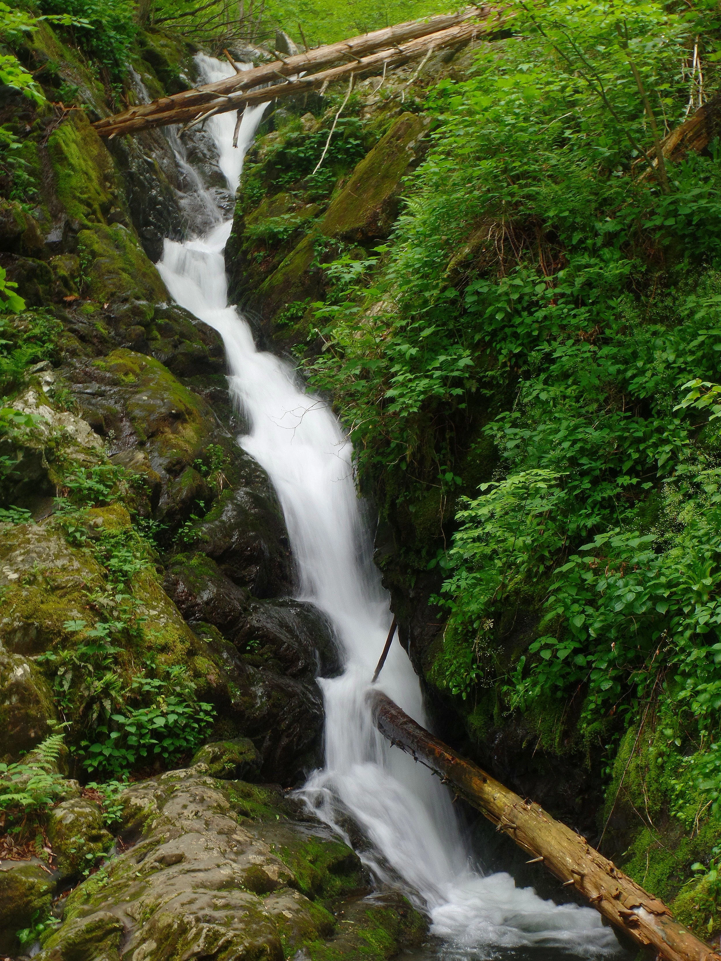
What’s not to love about a waterfall? No matter how many I’ve been to, I’m always left a little bit in awe of their power and force, and getting up close to one just gives you a rush. Plus, they’re just so darn beautiful and scenic, no matter where they are. How do they do that?
Luckily, there’s no shortage of these natural wonders in this park, and there’s a long list of potential waterfalls you can hike to in Shenandoah. And actually, none of the waterfalls in Shenandoah can be seen from your car along Skyline Drive, so strap on a pair of hiking boots and get ready to hike!
But how do you choose which Shenandoah waterfall to hike to?
Well, that depends… It depends both on where you are along Skyline Drive, and how strenuous of a hike you are looking to do. Some hikes are longer, have more uphill elevation gain than others, and can connect with other trails to make for an even longer day. But rest assured, no matter which one you choose, you probably won’t be disappointed. The waterfall hikes are definitely some of the best ways to experience the park and hike in Shenandoah.
Below, we choose three of our favorite waterfalls hikes in Shenandoah that you can consider putting on your to-do list.
But first…
Some General Waterfall Tips
The spring time is the best time for waterfall viewing in Shenandoah, because this is when the waterfalls are at their full force. So, if waterfalls are what you’re chasing, consider the timing of your visit.
Bring proper footwear, even for a short hike. A lot of hikes have some rocky terrain, and some of them bring you up close to the falls where rocks are wet and slippery. No flip flops or sandals here, please!
Waterfalls are an excellent option if the weather is rainy or foggy. This kind of weather can make it hard to get good views from vistas and mountain tops, so instead opt down into the valleys where the waterfalls are just as gorgeous and might be even flowing a bit more strongly from the rain. Rainy days are not bad weather days in this park!
Awesome waterfall hikes in Shenandoah National Park
Dark Hollow Falls
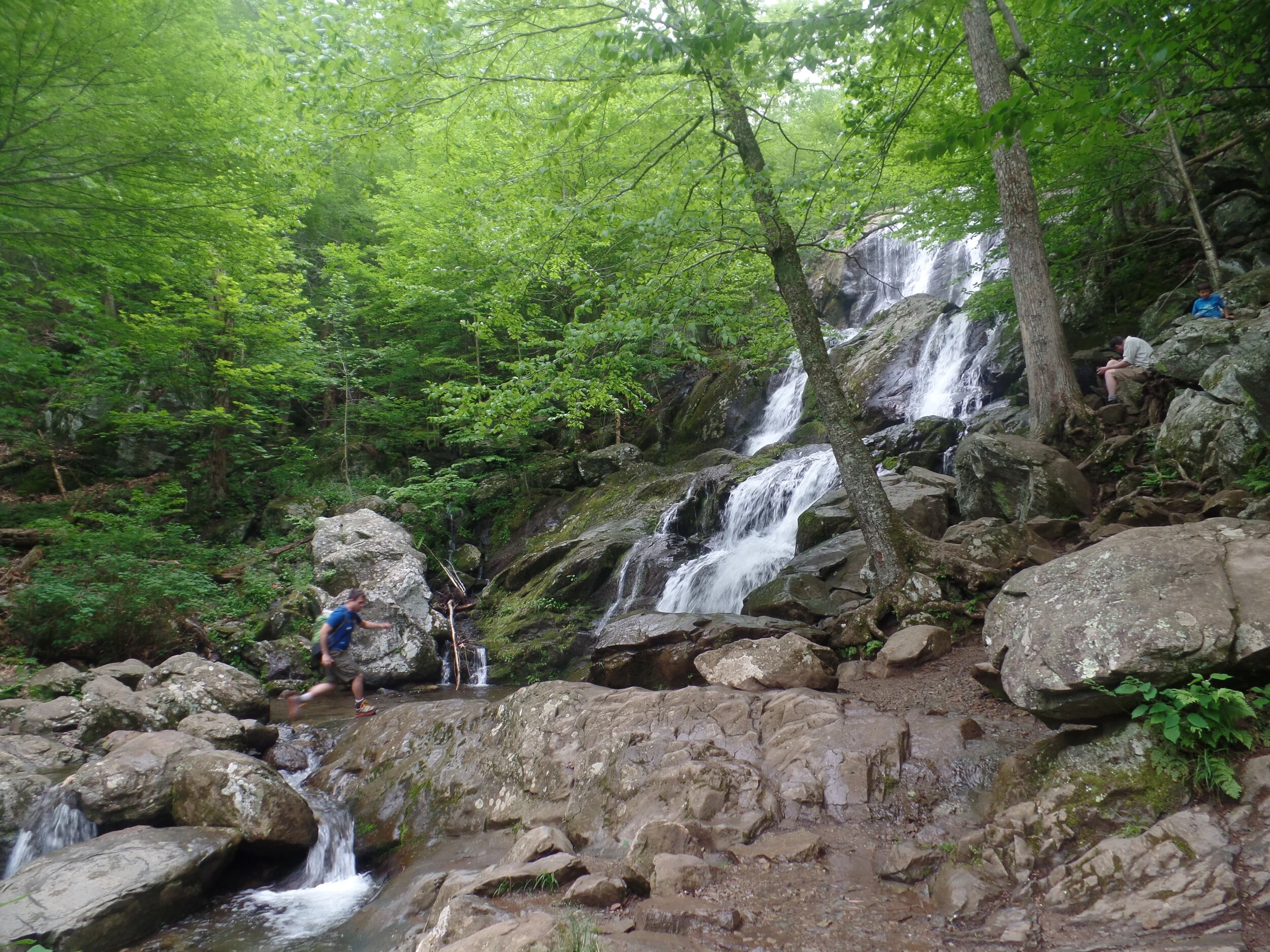
The hike to Dark Hollow Falls in Shenandoah National Park is a short 1.4 mile round trip trek. It’s actually quite a popular waterfall...and we actually think this is the best waterfall in all of Shenandoah National Park! It’s multiple tiers set in a lush forest backdrop make for a scenic waterfall that’s worth the trek.
How to get to Dark Hollow Falls in Shenandoah: The trailhead for Dark Hollow Falls and its parking lot can be found at mile 50.7 along Skyline Drive. Expect a full parking lot throughout the day and the possibility of street parking during weekends in peak season. Be careful and take your time driving through this area as there will be crowds and pedestrians all over on busy summer day.
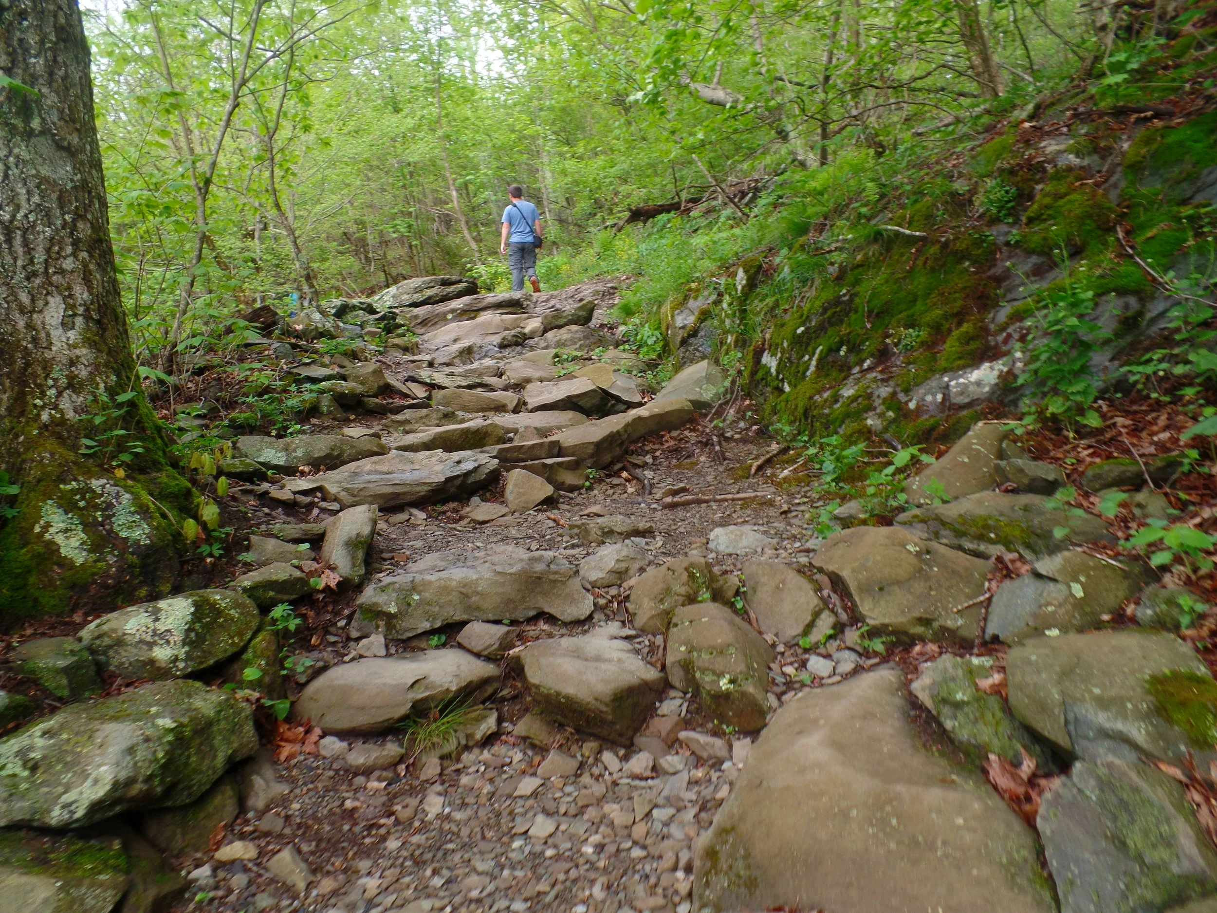
The hike to Dark Hollow Falls: The trail to Dark Hollow Falls is a wide and easy-to-follow path that gradually descends into the valley, but with a few steeper sections and some well-crafted rocky stairs. The creek is beautiful to walk along and offers great photo ops of shorter cascades. As you follow the creek, the trail drops about 450 feet down to the waterfall.
Towards the end of the trail, after just about 3 quarters of a mile, the path actually approaches Dark Hollow Falls from the side. In order to get a good front view of the falls, you have to do a little rock hopping across some slippery wet rocks, so use caution here! But, you’ll be rewarded with views of a 70 foot multi-tiered falls, my personal favorite on this list!
Fun tip! If you continue on the trail just a tad bit further, which requires just a bit more descent down a set of stairs, there’s another falls! Not many people come down this way, making it extra special!
Once you’re done enjoying the falls, it’s time to retrace your steps and head back the way you came. Here’s where the work comes in! Remember that 450 feet you hiked down to get to the falls? Well, it’s time to head back up! It’s a steady climb all the way back to the parking lot, but it was well worth it, wouldn’t you say?
If you want to make it an even longer hike, you can choose to continue along this trail rather than retrace your steps back to you car, where you will quickly meet up with the Rose Rive Loop Trail, the next trail on our list…
Rose River Falls
The Rose River Loop is a fun 4 mile loop hike in Shenandoah National Park that brings you to the gorgeous 67 foot tall Rose River Falls, another stunning Shenandoah waterfall.
How to get to Rose River Falls in Shenandoah: As mentioned above, you can hike to this waterfall by continuing past Dark Hollow Falls. If you do this, you will meet up with the Rose River Loop and continue in a counter clockwise direction along the Loop to get to the falls.
Alternatively, the trailhead for the start of the Rose River Loop is found at mile 49.4 along Skyline Drive, at the parking lot for Fishers Gap Overlook. From here, if you start in a clockwise direction along the trail, the falls is only 1.3 miles in, so an out and back to the waterfall can be easily done. From the parking lot to Rose River Falls, there is over 700 feet of descent, and thus, ascent back out, so be prepared! If you were to do the entire loop, rather than just an out and back to the waterfall, you’ll add about 200 more feet of elevation gain to the trek.
The hike to Rose River Falls: We simply did the out and back hike from the Fishers Gap parking lot to the waterfall and back. Overall, the trail is easily followed and pretty straightforward as you descend down into the valley.
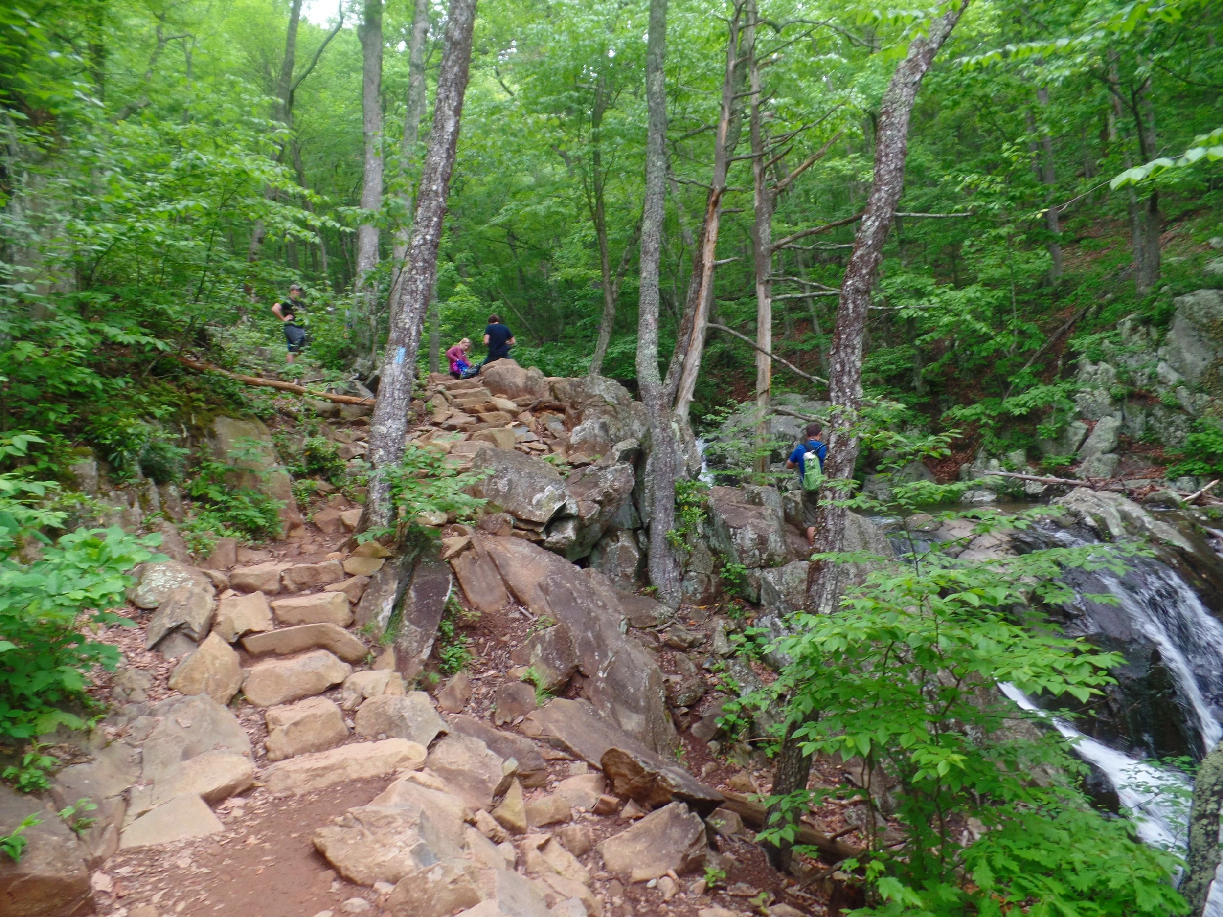
From this clockwise direction, you’ll approach this waterfall from behind, as the trail skirts along its side from above along a rocky path that is contained of mostly rocky stairs. There is an area where you can (carefully!) scramble down some steep rocks to get to the bottom of the fall for a direct view of the falls straight on. The cascading terraces are quite photogenic and make for some great pictures!
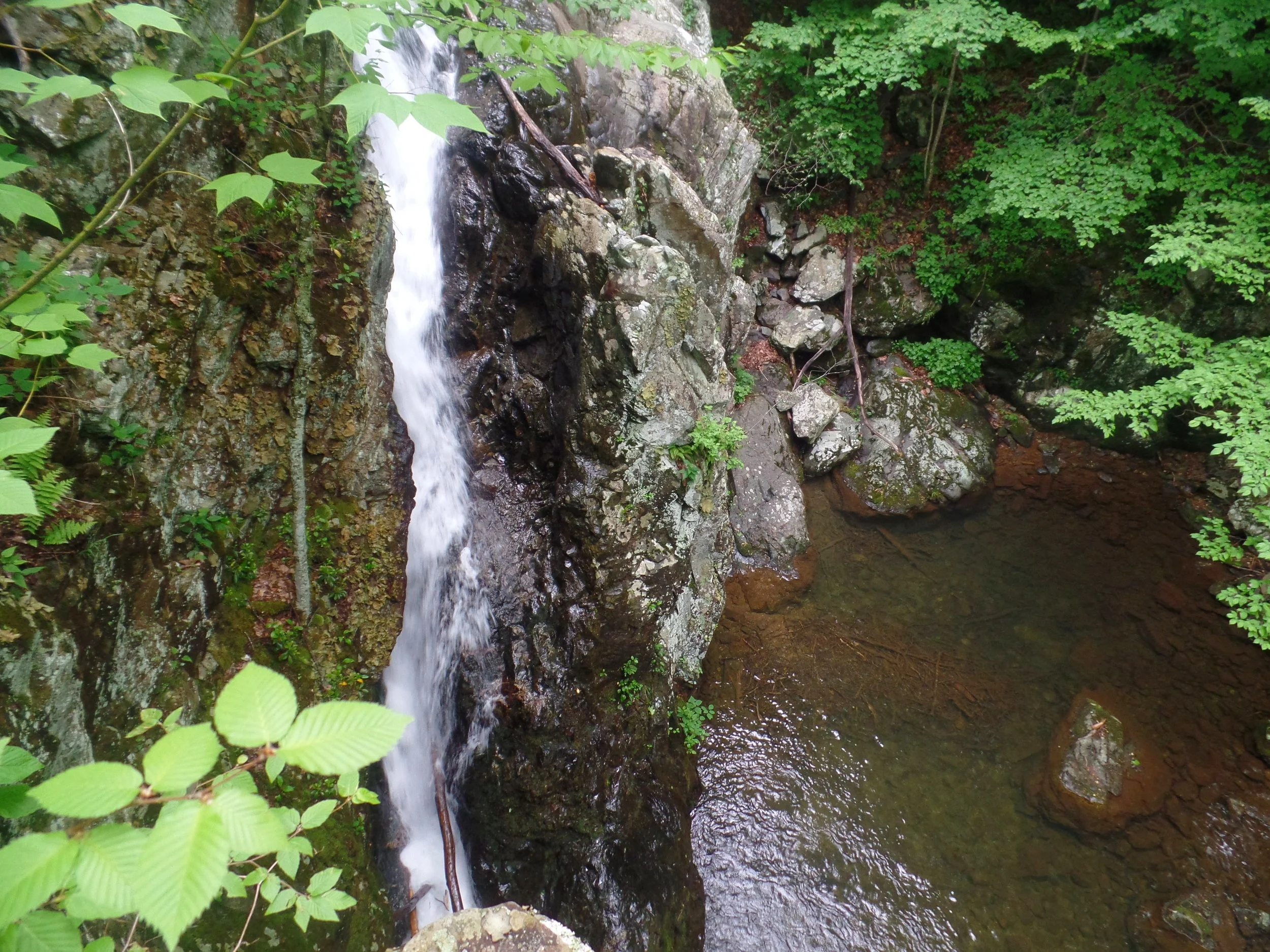
If you continue down the trail from here just a smidge, there is a surprise waterfall! It’s a short thin cascade in a space between two boulders. Be careful here and don’t get too close to the edge as the drop off is steep!
From here, you can turn around and retrace your steps back up to the car, or you can continue the loop for another 2.7 miles. A rocky path along the river will eventually meet up with an old yellow-blazed fire road and take you back to the parking lot.
Lewis Falls
This Lewis Falls trail is a little bit different than the other two Shenandoah waterfall hikes on this list, because rather than leading to the base of a waterfall, it leads to an observation platform of a stunning 80 foot waterfall.
How to get to Lewis Falls in Shenandoah: There are several trailheads that lead to Lewis Falls, but the easiest and most direct way is from the parking lot at mile 51.4 of Skyline Drive. From here, the journey begins on a flat service road that weaves its way through the forest.
At the end of this road, you will see a trail that crosses over the road…this is the AT trail, marked by the characteristic white blaze on cement posts with the AT symbol. Make sure you don’t mistakenly take this trail or you won’t end up at the falls! The road will end and morph into the trail that you need to continue down.
As with the other waterfall hikes above, it’s a gradual descent through the woods, this time with some baby switchbacks and rocky sections that you need to have careful footing on.
You’ll eventually come to an overlook which sits just next to Lewis Falls, although you can’t see it from this vantage point. You’ll have to hike just a tad further.
From this overlook, the trail traverses through a wet and rocky portion which is basically where you cross the stream that feeds the falls, after which you’ll maneuver across a slightly sketchy but very short (just a few steps) section to get to the overlook where the trail ends.
From here, you can take in the view of the fourth tallest waterfall in the Shenandoah from afar. You can’t hike down to the base from here, but sometimes its best take a step back and enjoy the bigger picture, right?
Return the same way you came, climbing back up out of the valley and back to the service road.
Hikes in Shenandoah with the Best Views
Now it’s time to experience those epic views with some amazing hikes in Shenandoah!
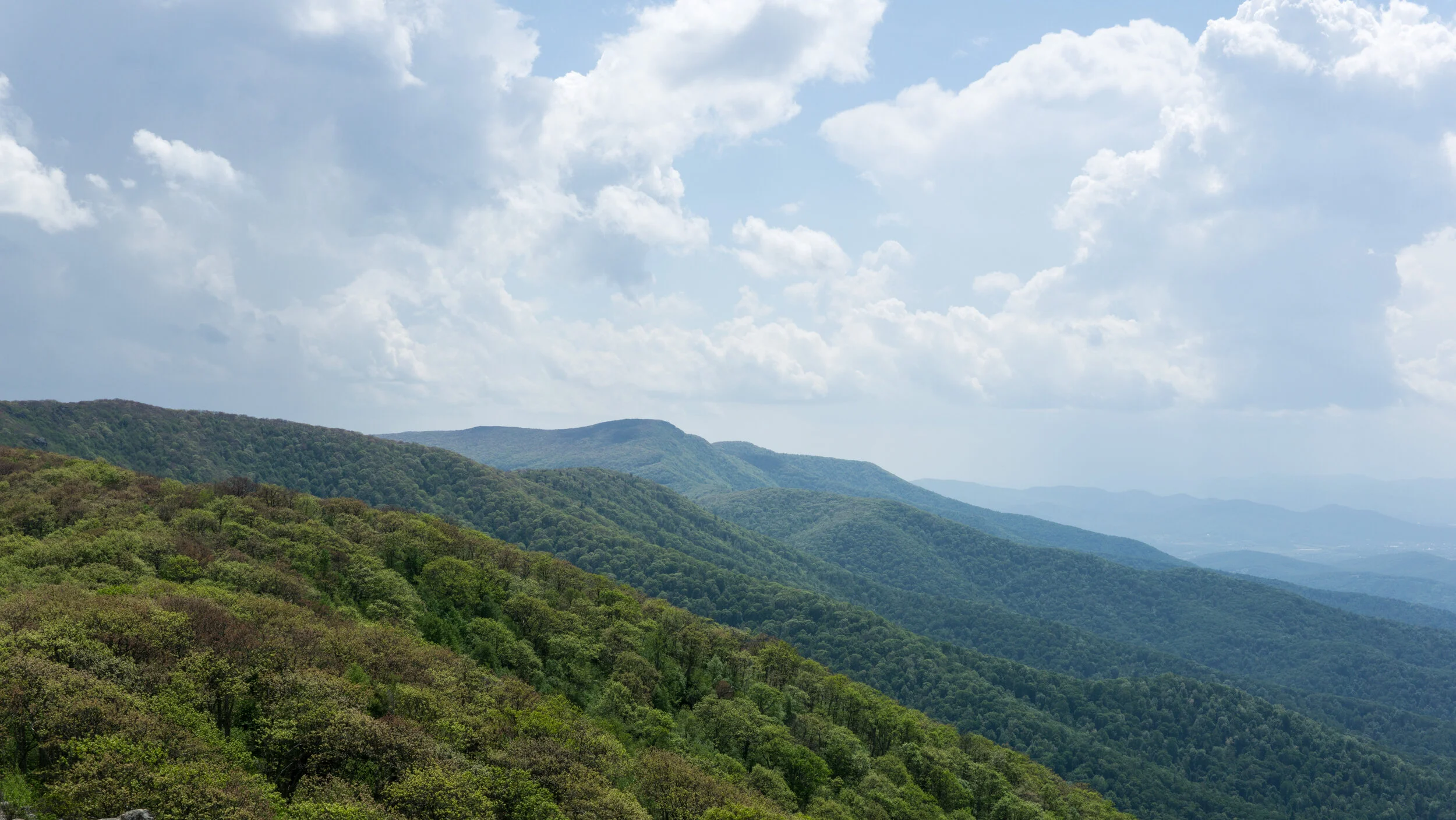
There are tons of options for hiking in Shenandoah that will take you out to scenic vistas and overlooks all along Skyline Drive, so you really can’t go wrong here. Before your visit, grab a park map and decide which Shenandoah hikes you want to do based on how far you want to drive down Skyline Drive and how long and difficult of a hike you are looking for. Hikes are found all along the length of the 105 miles Skyline drive, and range from short and sweet to challenging and steep, so there is something for everyone.
Here are some of our favorite hikes in Shenandoah National Park to help you decide!
Mary’s Rock
Mary’s Rock was our very first hike in Shenandoah National Park, and let me tell you…it did not disappoint! This classic Shenandoah hike provides you with views over Shenandoah valley and of Skyline Drive for some stunning scenery that you simply cannot get from viewpoints along the road.
How to get to Mary’s Rock in Shenandoah: There are a few ways to get to this popular viewpoint in Shenandoah, the quickest of which is to start at the trailhead located at the Meadow Spring parking lot at mile 33.5 of Skyline Drive. From here, it’s a 1.4 mile hike to the summit (2.8 miles roundtrip).
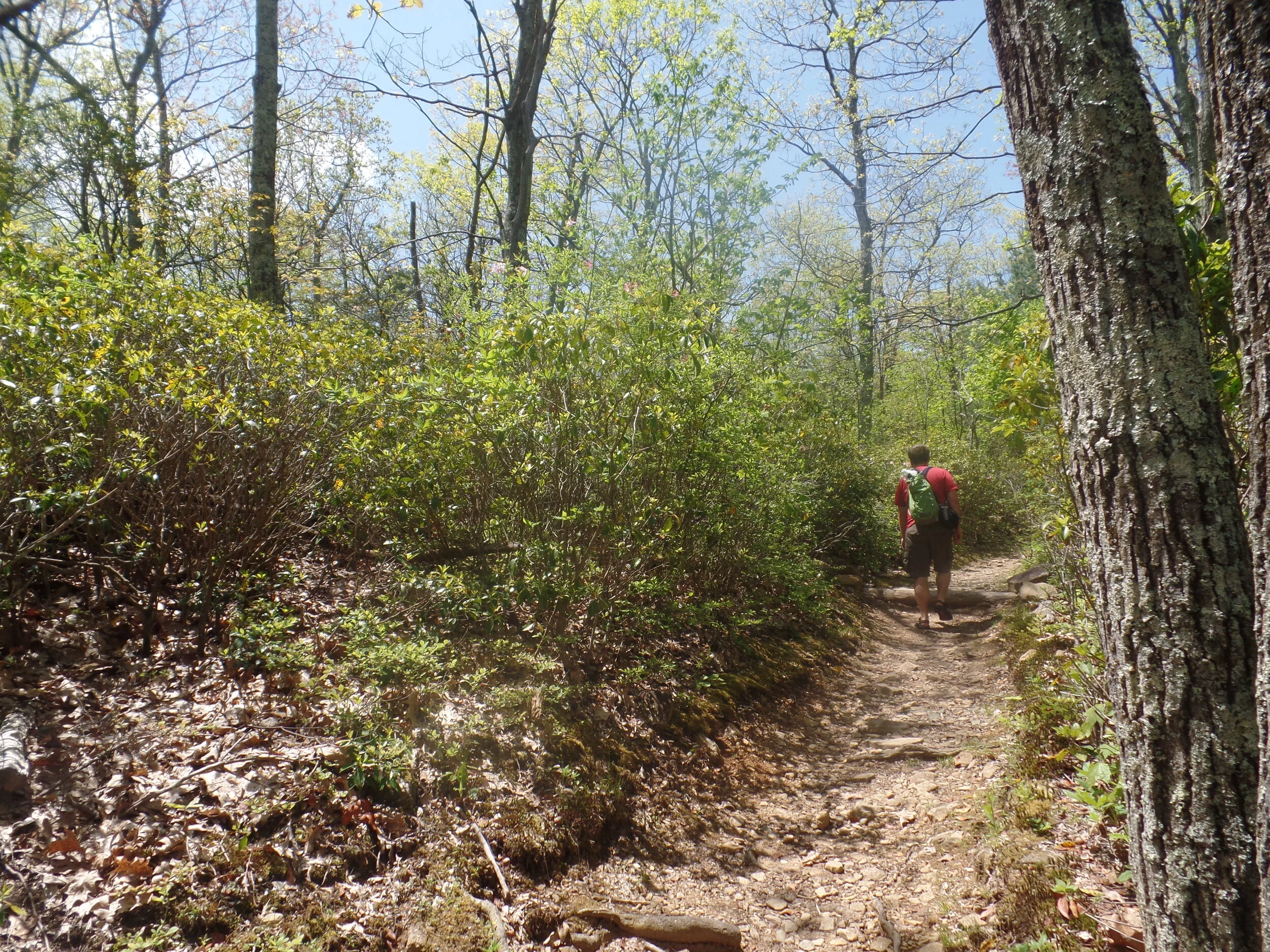
The hike to Mary’s Rock: This trail climbs 830 feet through a forested hillside above Skyline Drive and eventually meets up with the Appalachian Trail, recognized from its characteristic white blazes. You will hang a right on the AT and follow this generally easy, occasionally rocky, trail to the next intersection. Keep left here. Turning right at this junction will keep you on the AT and lead you to the other trailhead for this hike (and a long way from your car!).
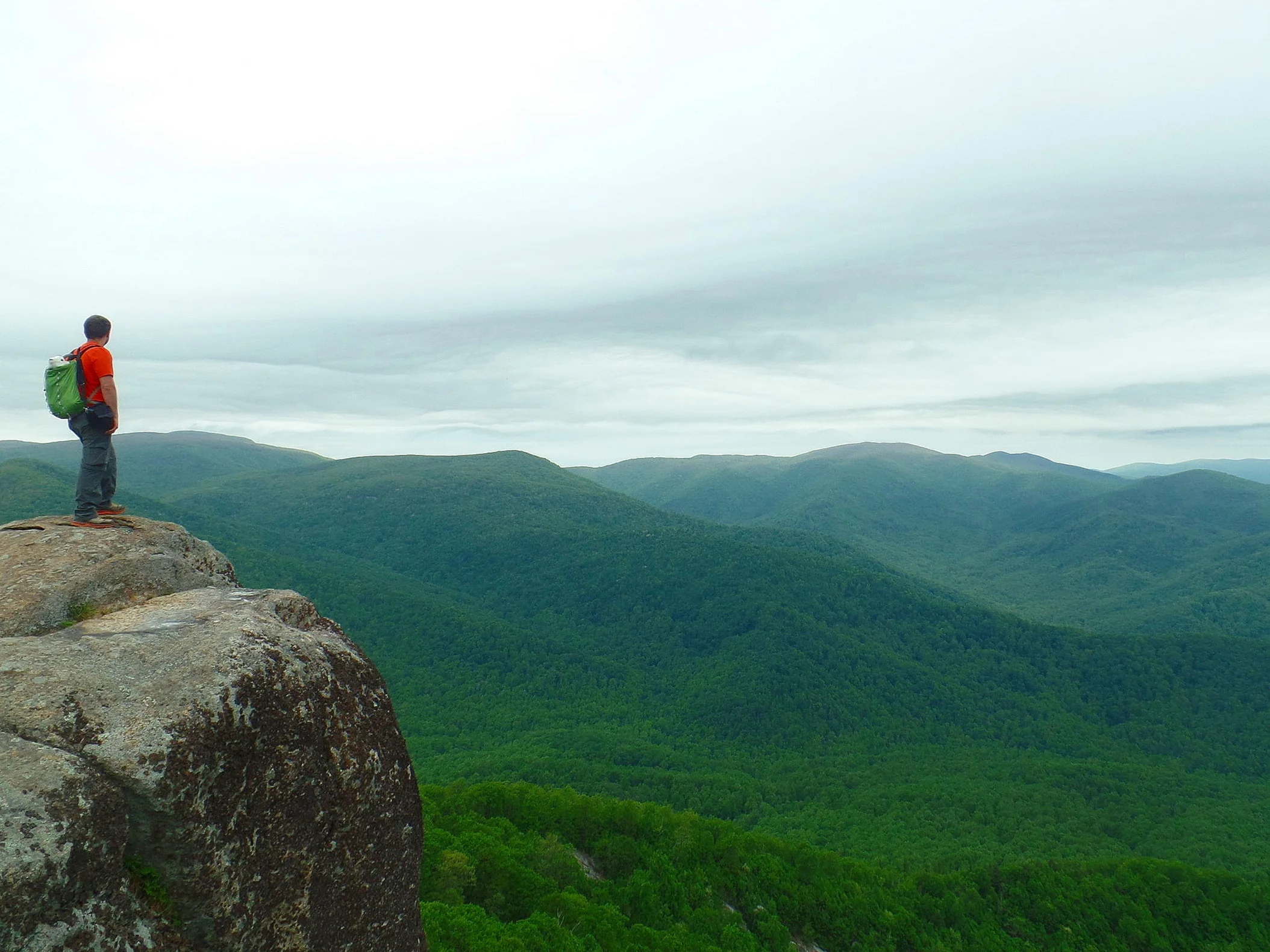
After a short climb, you’ll arrive at the summit of Mary’s Rock! You’ll find yourself at a photogenic rocky ledge with nice views down through Shenandoah Valley and back towards Skyline Drive and Thornton Gap. Soak it all in and when you’re done, simply retrace your steps back to the car.
Hawksbill Gap
This awesome Shenandoah hike is short but sweet! This hike is notable for leading you to the summit of the highest peak in the Shenandoah.
How to get to Hawksbill Gap in Shenandoah: There are three main approaches to this hike. The most direct and quickest route to the top, but consequently the steepest, is from a parking area located at mile 45.6 of Skyline Drive. On this trail, the Lower Hawksbill Trail, it’s a nearly 700 foot climb in less than one mile of distance, so expect a steady climb all the way to the top that will get your heart pumping! But hey, you can’t expect to get to the very top of the park without putting in some effort, right?
The hike to Hawksbill Gap: This trail is short, at just .85 miles each way, but it’s quite the steady climb. The trail can be a bit rocky, so watch your footing, especially during the descent.
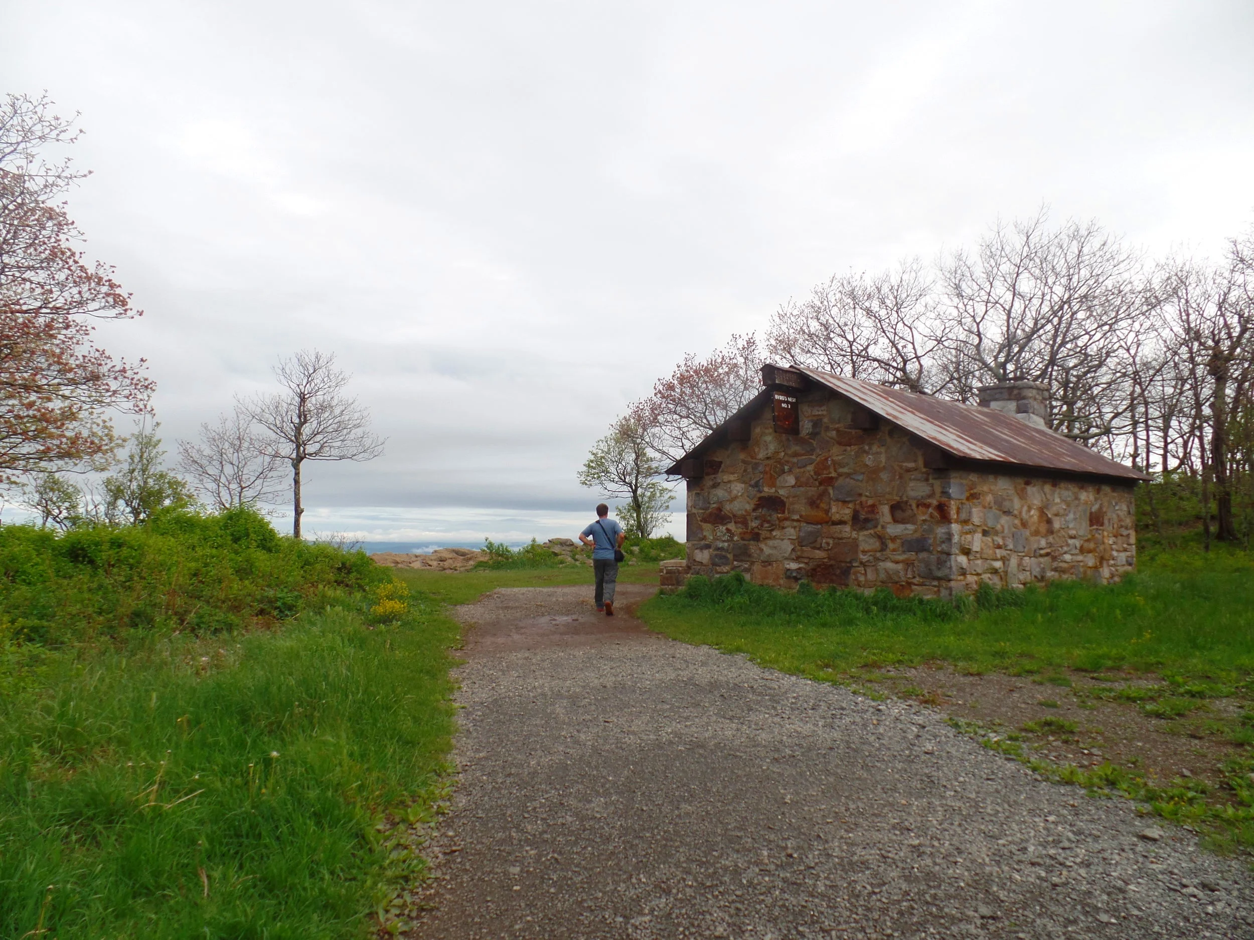
Near the top, the trail eventually levels out at a shelter (the Byrd’s Nest Shelter) that opens up to some excellent views, but continue on just past this shelter to the real summit, where you’ll find a viewing platform and a sense of achievement as you stand on the highest point in the Shenandoah National Park.
Take some time to relax and enjoy the views before heading down the same way.
Old Rag Mountain
We saved the best for last when it comes to Shenandoah hikes!
Old Rag is the most popular hike in the Shenandoah National Park and people come from all over to hike this specific mountain.
Why?
Because…It’s SO MUCH FUN! This is a super fun loop that’s just over 9 miles and involves fun scrambling combined with some of the best views in the Shenandoah National Park.
With that said, it’s a difficult hike, rated as “Very Strenuous” by the National Park Service. You should absolutely be comfortable with rock scrambling, and be prepared for an exhausting climb up! With this hike, the journey is just as awesome, perhaps even better, than the destination.
Tips for Creating Your Shenandoah Itinerary
Now that you’ve gotten a taste of all the awesome hikes in Shenandoah, it’s time to plan your perfect Shenandoah itinerary! So let’s cover all the important stuff, like where to stay, how much time you need, what to bring, and more.
How much time do you need in Shenandoah National Park?
Theoretically, you can spend weeks in Shenandoah and never get bored. But we’re guessing you don’t have that kind of time. We didn’t either!
But the good news is that a weekend trip is a perfect amount of time for a getaway into the mountains. Two to three days in Shenandoah will give you plenty of time to do each of the hikes above, and maybe more!
Our three day Shenandoah itinerary looked something like this:
Day 1: Hike to St. Mary’s and Hawksbill Gap. We took advantage of the nice sunny day to hike to awesome vistas over the park.
Day 2: Hike to Dark Hollow Falls, Rose River Falls, and Lewis Falls. It was a rainy day, so the perfect time to visit Shenandoah’s best waterfalls!
Day 3: Hike to Old Rag. This will take up the better part of a day, so plan accordingly!
With just one day in Shenandoah, it will require you to pick and choose what you want to see the most. Old Rag will take the better part of the day, so if that’s on the top of your list, get an early start there and then pick maybe one or two more short hikes off Skyline Drive to end your day with.
Where to stay: Campgrounds in Shenandoah National Park
Shenandoah has four campgrounds ranging from $15-20 at various points along Skyline Drive.
Matthew’s Arm Campground: Mile 22.1 on Skyline Drive, tent/RV sites, $15, no laundry or shower, flush toilets, mix of reservable and first come first serve sites.
Big Meadows Campground: Mile 51.2 on Skyline Drive, tent/RV sites, $20, laundry and showers available, flush toilets, mix of reservable and first come first serve sites.
Lewis Mountain Campground: Mile 57.5 on Skyline Drive, tent/RV sites, $15, laundry and showers available, first come first serve only.
Loft Mountain Campground: Mile 79.5 on Skyline Drive, tent/RV sites, $15, laundry and showers available, mix of reservable and first come first serve sites.
Reservations at three of the campgrounds can be made for peak season (May to November), and it is recommended to make these as far in advance as possible. While summer weekday sites may only need to be reserved about a month or two in advance, summer weekends, especially holiday weekends, can book out the full 6 months in advance.
Each site has first-come first-served sites, but these can be tricky to get, especially on weekends, so try to get to these early (like, before 8 am) if this is your main strategy or you tried booking reservations too late (like us!).
We recommend planning which hikes you would like to do, where they are along Skyline Drive, and try to find campsites closest to these. Some trails begin directly in certain campgrounds, which can be convenient if you are looking for early starts.
A note on wildlife: Shenandoah is home to a lot of wildlife, including the black bear. To avoid any issues, be aware of your surroundings when hiking and camping. Campsites have designated food storage lockers…keep all your food in these or in your car, and don’t leave anything unattended so that you don’t get any surprise visitors! This keeps not only you safe, but the animals as well.
Not into camping? There are a few lodging options along Skyline Drive as well that you can check out!
Best time to visit Shenandoah National Park
Shenandoah is a year round destination and each part of the year has its perks.
Peak season in Shenandoah with high crowds ranges from May-November. Summer has the best weather but typically the most crowds. The spring time is when everything comes to life, wildflowers bloom, and waterfalls are powerful from the melting winter snow. Fall is particularly busy as this park makes a great vantage point to see those beautiful fall colors, but expect slow going on Skyline drive with lots of traffic and full parking lots.
If you want to come in the winter months for solitude and a different perspective of the landscape, make sure you are properly prepared for winter hiking with layers and gear (such as microspikes) and be sure to check the status of Skyline Drive, as inclement weather may cause it to close.
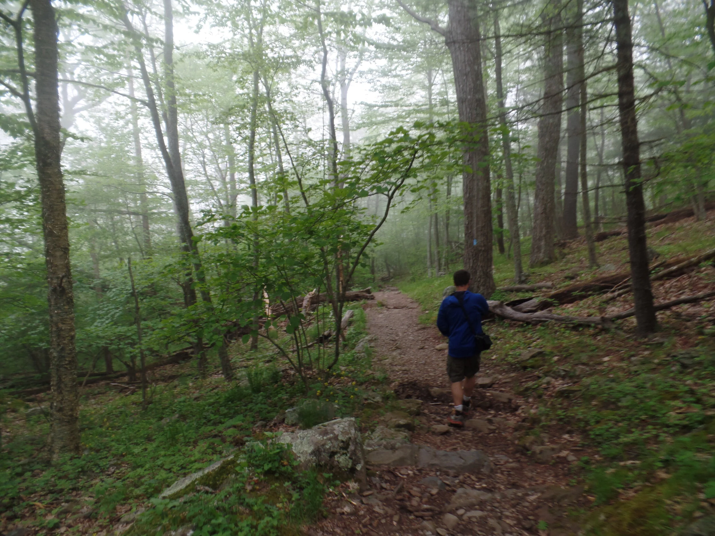
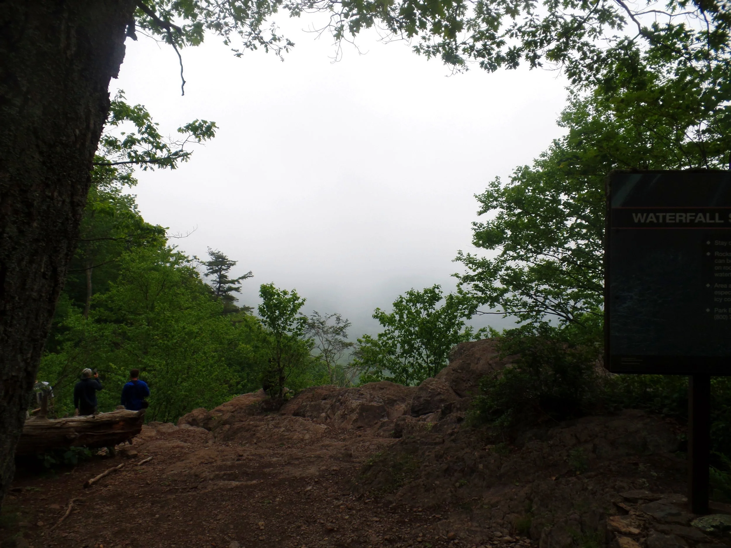
Rainy weather tip: Don’t let rainy weather get you down! Waterfalls make a great rainy weather destination, and Shenandoah has plenty of these, as you read above! In rainy weather, Shenandoah becomes super mystical and eerie, which makes for some fun hiking and cool photos!
Unfortunately, some hikes are best in Shenandoah should not be done in the rain, though….like the popular Old Rag, which requires tons of rock scrambling which would be made too dangerous and slippery in the rain. Save these types of hikes for a drier day!
Tips for Driving Skyline Drive
Skyline Drive is the Shenandoah’s main road through the park, traversing 105 miles from North to South along the Blue Ridge mountains. There are four main points of entrance, each of which collect the $30 National Park fee that is good for 7 consecutive days. The Front Royal and The Rockfish Gap Entrance Stations cap the Northernmost and Southernmost points along the road.
Driving this incredibly scenic route is the most popular thing to do in Shenandoah, and takes an estimated three hours to drive from the north entrance to the south entrance….but, let’s be honest, it doesn’t take anyone three hours. With over 70 (yes, 70) pullouts along the way, you’ll find yourself stopping every few miles to pull over and admire the views!
Skyline Drive is well marked with mile marker posts so you can gauge where you are along the drive. Some of the less popular hikes in Shenandoah don’t actually have pull offs or parking lots associated with them, so make sure you grab a map from the visitor center or have your own and know which mile marker your hike starts from. You may have to just park your car along the side of the road and locate the trailhead directly off the road.
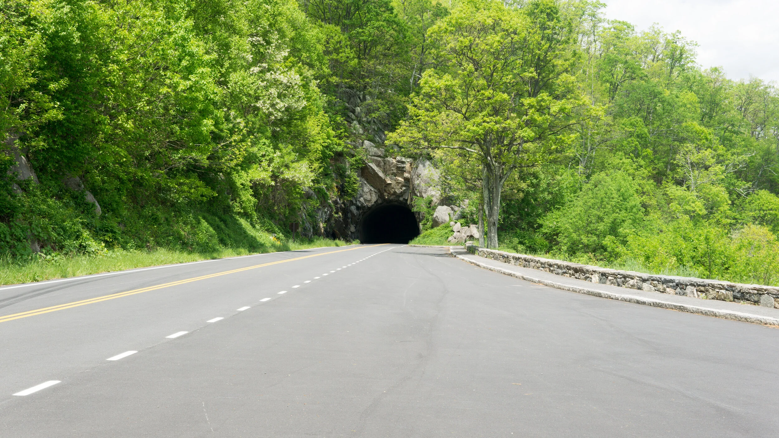
Also note that there is a tunnel at mile 32.2 that you will have to be aware of if you’re driving a big vehicle or an RV. It has a clearance of 12’8”.
Skyline Drive closes at various times throughout the winter and for inclement weather, so make sure to check the status of the road before heading out.
A note about wildlife: Shenandoah has a lot of wildlife, including black bears. When travelling down Skyline Drive, a good rule of thumb is that if you see a small traffic jam with people out of there cars, it’s probably not an accident, it’s a wildlife sighting. If you would like to check it out, pull all the way off the side of the road, and admire the animal from a distance! Check out this black bear we saw casually strolling along the side of the road!
Our most important tip for your visit to Shenandoah? Have fun! There is so much to see and so many amazing hikes in Shenandoah, but we hope we’ve helped you find a few options that you can use to craft your perfect Shenandoah itinerary.
Have questions? Shoot us a message or comment below!


